Congestion Data for Your Corridor

TTI logo

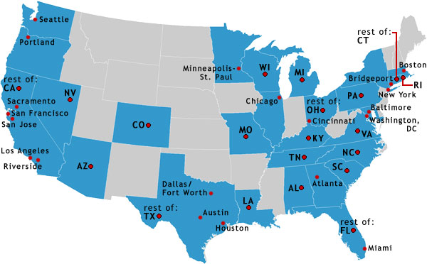
The map has dots linking to PDF files that contain the Congested Corridors Statistics—Buffer Index, Planning Time Index, Travel Time Index, Delay per Mile, Congestion Cost. If an individual urban area is listed, it has at least 5 corridors included in the study. If a state is listed, it has corridors from urban areas within that state that contained fewer than 5 corridors in the study.

You can get the numbers—all the numbers—for each of the 328 corridors by downloading the spreadsheet (182KB).

U.S. Map

Seattle, Washington Portland, Oregon Rest of California Nevada Sacramento, California San Francisco, California San Jose, California Riverside, California Los Angeles, California San Arizona San Colorado rest of Texas Houston, Texas Dallas-Fort Worth, Texas Austin, Texas Louisiana Missouri Minneapolis-St. Paul, Minnesota Wisconsin Michigan Chicago, Illinois rest of Ohio Cincinnati, Ohio Kentucky Tennessee Alabama Atlanta, Georgia rest of Florida Miami, Florida North Carolina South Carolina Virginia Washington, D.C. Baltimore, Maryland Pennsylvania New York, New York Bridgeport, Connecticut Boston, Massachusetts Rhode Island rest of Connecticut

List of Corridors